Evidence: Supported Explanation: Partially explained
Ancient Buto and What Subsurface Scans Really Showed in the Delta
Ancient Buto, the legendary sanctuary of the cobra goddess Wadjet in the Nile Delta, has yielded significant new subterranean evidence through non-invasive geophysical surveying. A multi-institutional research team combined European Space Agency satellite radar with ground-based electrical resistivity tomography to identify a massive mudbrick structure buried several meters beneath the surface at Tell el-Fara'in. Subsequent test excavations confirmed the presence of sixth-to-seventh-century BC mudbrick architecture resting on an engineered foundation of pure sand. The investigation demonstrate
Why AENIGMA is covering this
The investigation at Tell el-Fara'in serves as an exemplary demonstration of modern, responsible archaeological methodology in challenging landscapes. Rather than deploying speculative or destructive broad-scale trenching, the research team demonstrated how multi-tiered remote sensing can reveal complex subterranean architecture with minimal physical impact on fragile cultural heritage. Combining orbital radar with ground-level electrical resistivity tomography allows researchers to plan highly focused, precise field interventions, saving vital resources while safeguarding unexcavated deposits for future generations. In alluvial floodplains like the Nile Delta, where ancient settlements are deeply buried and modern agricultural needs exert ongoing land pressure, non-invasive surveying is an essential scientific prerequisite. Methodological success at Buto underscores that satellite indicators and ground geophysics are complementary tools: space-borne sensors isolate regional surface traces, ground geophysics constructs three-dimensional subsurface projections, and licensed excavations verify the data on the ground. AENIGMA documents these advancements to highlight how multidisciplinary science preserves the past while expanding archaeological knowledge. ⓘ From the Publisher: AENIGMA is published by X6 Geo Plus Ι.Κ.Ε., the company that develops the NOETIC application. NOETIC took no part in the Buto research. It follows, however, the same logic the study describes: it combines public satellite data (such as SAR radar and thermal imagery) with ground scans from X6 ground scanners, so that researchers, engineers and professionals can get a first, multi-layered picture of an area before any intervention. As at Buto, such results are indications that need confirmation, not proof. At archaeological sites and protected areas, any survey is carried out only with a permit from the competent authorities. More: noetic-lab.com
What happened
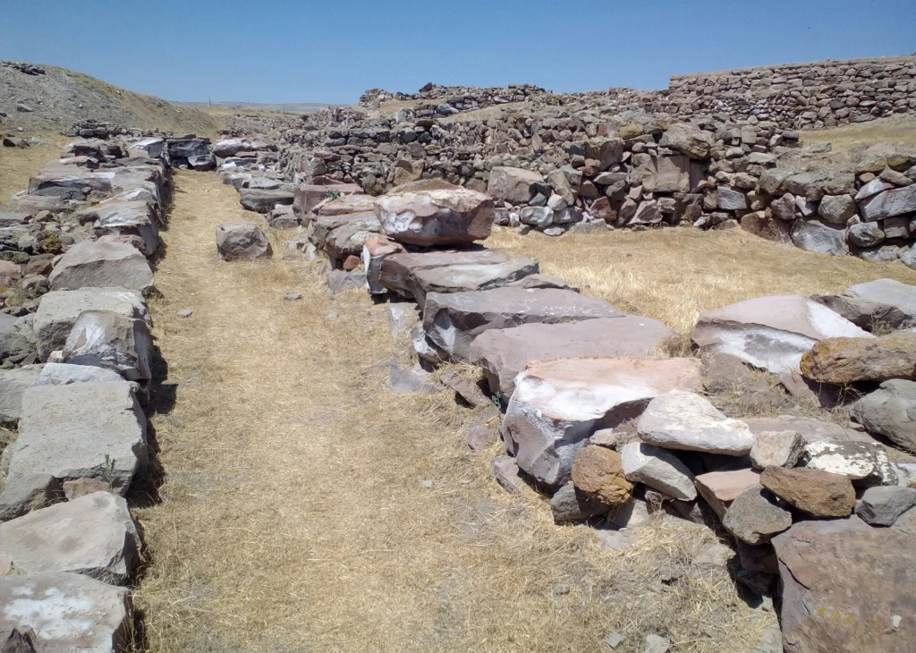
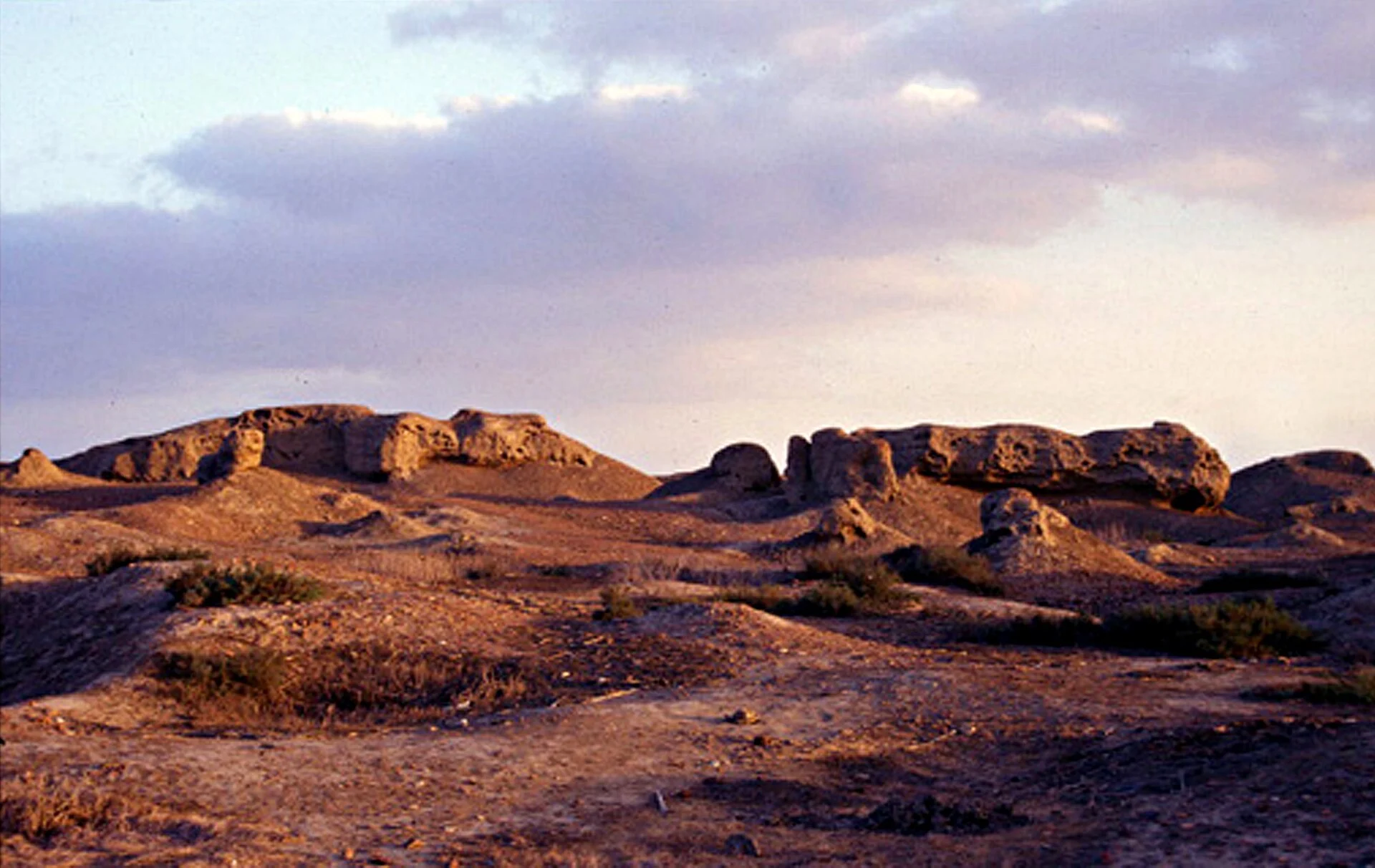
Ancient Buto, modern Tell el-Fara'in, sits amid the lush agricultural fields of the northwestern Nile Delta as one of Egypt's most ancient and revered religious centers. In March 2026, the scientific journal Acta Geophysica published the results of an extensive geophysical and remote-sensing survey conducted across a prominent elevated sector of the site known as Kom C. The research was brought to broader public notice in Greece through reporting by Proto Thema in November 2026. The collaborative project brought together researchers Mohamed A. R. Abouarab, Abdelaziz Elfadaly, Waleed Elbehery, Osama Wafa, Ibrahim Aboalkassim, Ali Younes, Amira M. A. Hiekl, Saada Ahmed Saada, Penelope Wilson, and Amin Ibrahim, working with funding provided by the Egyptian National Authority for Remote Sensing and Space Sciences (NARSS). The settlement of Buto was occupied across millennia, spanning from Predynastic times through the Old, Middle, and New Kingdoms, down to the Saite, Ptolemaic, Roman, and early Islamic eras. In Egyptian religious geography, the city functioned as the legendary home of the cobra goddess Wadjet, whose protective image, the uraeus, rested upon the royal forehead of every reigning pharaoh. Because of this continuous habitation, the surviving archaeological mounds accumulate centuries of layered human occupation, forming a complex stratigraphy embedded in dense silt. At Kom C, modern researchers set out to clarify what lay buried beneath the upper disturbed soils without disturbing broad tracts of land. The Nile Delta is widely recognized among field researchers as one of the most demanding environments on earth for traditional field exploration. Centuries of regular inundations prior to the modern construction of the Aswan High Dam covered ancient settlements in meters of dense, waterlogged river sediment. Today, rapid agricultural expansion, elevated groundwater, and intense land use make widespread exploratory trenching impractical, expensive, and potentially hazardous to delicate mudbrick remains. To resolve these challenges, the team organized a multi-phase investigation that commenced from earth orbit, progressed through surface-level ground geophysics, and concluded with a tightly controlled, small-scale validation trench. The resulting study demonstrated that modern remote sensing can accurately identify large architectural complexes buried under deep alluvial silts before any physical ground disturbance occurs. By cross-referencing satellite radar anomalies with multi-profile ground resistivity scans, the team traced a substantial oval outline beneath the surface. Official permission from the competent Egyptian authorities allowed the team to open a limited, ten-by-ten-meter excavation square to test their subsurface models. The trench confirmed the accuracy of the geophysical layout, exposing well-preserved mudbrick masonry alongside ritual artifacts from Egypt's Late Period.
What we know
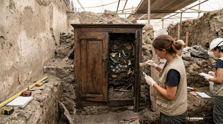
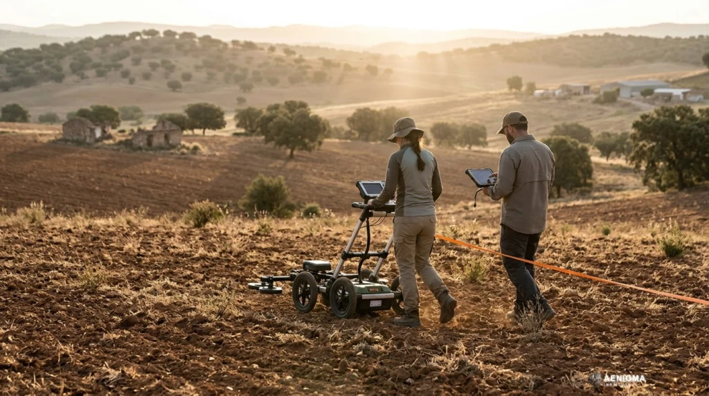
The survey results published in Acta Geophysica outline a distinct, three-tiered stratigraphic sequence beneath the surface of Kom C. The topmost zone, extending from the surface down to roughly three meters, consists of disturbed ground containing fragmented mudbricks, limestone rubble, and broken ceramics dating from the Ptolemaic and Roman eras. These materials represent later secondary occupations and centuries of agricultural disruption that churned the upper soil. Despite this surface disturbance, the underlying strata remained largely intact, shielded by the overlying sediment. Between three and six meters below the current surface, the geophysical survey identified a high-resistivity anomaly forming an oval enclosure measuring approximately 128 meters in length by 62 meters in width. The geophysical signatures in this depth bracket correspond to substantial, dense mudbrick construction. Direct testing via a ten-by-ten-meter excavation confirmed that these signals represent massive load-bearing walls belonging to the Saite period of the 26th Dynasty, which ruled Egypt during the seventh and sixth centuries BC. Within the excavation trench, archaeologists recovered religious objects, including fine amulets depicting the goddess Wadjet and a stone offering basin utilized for ritual libations. Below the architectural level, between six and seven meters deep, the electrical measurements revealed an engineered foundation layer composed entirely of clean sand. In monumental ancient Egyptian building practices, temple foundations and elite tombs were deliberately bedded on imported sand to provide seismic stability, ensure drainage against rising moisture, and ritually evoke the primordial mound of creation. Deeper still, beneath seven meters, the instruments recorded an earlier occupation phase that the team provisionally associates with the late eighth century BC, pointing to multi-generational building activity at the mound. The methodology employed by the scientific team operated across three coordinated scales of physical observation. First, the researchers obtained Synthetic Aperture Radar data from the European Space Agency's Sentinel-1 satellite, utilizing a C-band acquisition processed through the open-source SNAP software suite. While satellite radar does not physically penetrate deep soils, it captures subtle variations in surface soil roughness, moisture retention, and micro-topography caused by buried walls influencing water drainage. These faint surface patterns allowed the researchers to isolate primary candidate zones across Kom C without breaking ground. Next, the team deployed ground-based Electrical Resistivity Tomography across the candidate area, laying out long parallel arrays of electrodes inserted into the topsoil. By introducing weak electric currents into the earth and recording resistance across hundreds of measurement points, the survey differentiated between conductive wet alluvial clay and resistive subterranean features such as dry foundation sand and compacted sun-dried mudbrick. The researchers processed the two-dimensional profiles into a comprehensive three-dimensional inversion model, delivering an accurate volumetric projection of the buried walls. Finally, the team conducted a targeted ten-by-ten-meter excavation specifically to verify the predictive capability of their geophysical models.
What we don't know
While the physical existence of the massive mudbrick complex at Kom C is firmly documented, its complete functional layout remains unknown. The targeted ten-by-ten-meter trench uncovered only a tiny percentage of the overall enclosure, which extends over an area of 128 by 62 meters. Consequently, researchers cannot yet determine whether the interior space accommodated a primary temple sanctuary, a monumental Saite royal or elite tomb, a fortified priestly residence, or an administrative storage treasury. Only broader, non-invasive ground mapping or further systematic excavation could clarify the architectural floor plan. The precise historical timeframe of the complex within the 26th Dynasty is likewise unresolved. The Saite Dynasty governed Egypt for more than 130 years, during which rulers such as Psamtik I, Necho II, Apries, and Amasis carried out ambitious building projects across the Delta. Because the limited test trench did not yield royal inscriptions, foundation deposits bearing official royal cartouches, or dated administrative papyri, the structure cannot currently be tied to any specific pharaonic reign. The exact historical circumstances surrounding the building's eventual abandonment or destruction also remain unrecorded in the excavated material. The full archaeological character of the earliest layer detected below seven meters remains unexamined. While the resistivity readings indicate an underlying cultural horizon dating tentatively to the late eighth century BC, no physical probes have reached that depth. It is therefore unknown whether this deeper structure represents an earlier New Kingdom temple precursor, a Third Intermediate Period enclosure, or an unassociated settlement layer. Future academic research programs would need to sample these deep strata under rigorous stratigraphic controls to establish their precise chronological relationship to the Saite monument. Environmental factors present another significant unknown regarding the condition of unexcavated sections of the monument. In the alluvial plains of Lower Egypt, ancient organic remains such as wooden ritual furniture, inscribed papyrus scrolls, and woven textiles face severe deterioration from fluctuating groundwater tables and chemical salts in the soil. How much of the interior organic material has survived millennia of immersion remains entirely uncertain. Similarly, the extent to which stone casing blocks may have been quarried away during later Roman or medieval periods cannot be fully evaluated from resistivity data alone.
What is claimed
The principal interpretation advanced by the research team in Acta Geophysica is that the subterranean anomaly at Kom C represents a major Saite-era mudbrick complex, possibly functioning as an elite monumental tomb or a sacred temple precinct. Public discussions and comparative analyses by regional specialists have offered complementary possibilities, suggesting the building may have served as a secondary cult temple, an administrative compound for temple estates, or a fortified sanctuary complex. These functional interpretations rest on the recovered Wadjet amulets, the presence of the libation basin, and the sheer scale of the mudbrick enclosure walls. The historical background of the 26th Dynasty provides strong contextual plausibility for such a massive architectural investment. Originating from the nearby Western Delta capital of Sais, the Saite monarchs unified Egypt following decades of Nubian and Assyrian conflict, initiating an artistic and architectural revival often termed the Saite Renaissance. The kings of this era consciously emulated the monumental styles of the Old and Middle Kingdoms, investing heavily in the Delta's ancient religious sanctuaries. Royal patronage poured into historic cult centers such as Buto, where grand temples and elite burial complexes were constructed to affirm divine legitimacy and fortify the northern frontier. The presence of the cobra goddess Wadjet's iconography within the excavation trench aligns naturally with Buto's historical identity as her primary cult seat. In ancient Egyptian cosmology, Buto was venerated alongside the southern city of Nekheb as one of the two twin cradle-cities of divine kingship. Discovering dedicated votive amulets and an offering basin within an elite enclosure suggests that active ceremonial libations and ritual presentations occurred within the precinct. Whether these rituals were performed in honor of an entombment or formed part of the daily temple liturgy remains an open academic debate until further evidence emerges.
What is verified
The physical reality of the Kom C anomaly is confirmed by both remote sensing data and direct physical sampling. The high-resistivity subsurface perimeter, measuring approximately 128 meters long by 62 meters wide between three and six meters below surface level, is documented across multiple calibrated ERT lines. The subsequent ten-by-ten-meter excavation square opened by the project team physically exposed intact mudbrick walls exactly where the geophysical inversion models projected their location. This direct physical match proves that the electrical resistance anomalies were generated by human architectural features rather than natural geological variations. The site's stratigraphy is also verified through direct archaeological observation. The upper three meters consist of mixed fill containing diagnostic Roman and Ptolemaic pottery sherds and degraded stone fragments, confirming late re-use of the mound. Beneath this, the walls of sun-dried Nile silt brick are physically anchored upon an engineered sand bed situated six to seven meters below the surface. This construction technique is well documented in pharaonic architecture, where builders regularly excavated wide foundation trenches and backfilled them with clean, dry desert sand to create stable, level footings and resist capillary moisture rise. The recovery of specific material culture from the excavation square provides verified evidence of the site's cultural horizon. The team recovered small amulets depicting the patron deity Wadjet alongside a preserved stone offering basin embedded in association with the mudbrick walls. Stylistic and typological analysis of these diagnostic artifacts securely dates this phase of use to Egypt's Late Period, confirming the Saite attribution suggested by the architectural and stratigraphic context.
Competing explanations
- Leading: A mudbrick sanctuary or secondary temple, supported by ritual artifacts including Wadjet amulets and an offering basin recovered from test trenches.
- Possible: A monumental tomb from the Saite period, as hypothesized based on deep subterranean mudbrick walls erected over an engineered sand layer.
- Possible: An administrative or residential complex used by temple priests during the revitalization of Buto under the 26th Dynasty.
What would change our assessment
The current understanding of the Kom C complex would evolve significantly if future authorized investigations uncover direct epigraphic material. In Egyptian archaeology, written records represent the most definitive criteria for identifying monumental buildings. The recovery of in situ foundation deposits, inscribed limestone door lintels, royal stelae, or mudbricks stamped with official cartouches would definitively identify the pharaoh who commissioned the building, the deity to whom it was consecrated, and its exact administrative title. A systematic, multi-contextual ceramic sequence would likewise refine the site's chronological boundaries. While the recovered artifacts point broadly to the 26th Dynasty, extracting stratified pottery assemblages from sealed floor levels and foundation fills would clarify the construction date down to specific decades. Scientific radiocarbon dating of short-lived botanical remains, such as cereal grains or charcoal inclusions trapped within the foundation mudbricks, could independently test and anchor the stratigraphic timeline. Finally, expanded non-invasive geophysical mapping across adjacent sectors of Kom C would place the oval enclosure in its broader urban context. Tracing peripheral roadways, domestic quarters, harbor facilities, or connecting temple corridors would reveal how this monumental enclosure interacted with the wider sacred precinct of Buto. Until such authorized fieldwork occurs, the structure is objectively documented as a major Saite mudbrick complex whose exact architectural plan and functional purpose await further scientific investigation.
Sources
- Acta Geophysica (SpringerLink) (neutral, primary)
- DOI Foundation Resolver (neutral)
- Proto Thema (supports)
- AENIGMA Editorial — Marie Martin (supports)
Protocol AENIGMA-EF-0.1