Evidence: Insufficient data Explanation: Not enough data yet
Roman Roadside Station: What Magnetic Scans at Fuente Obejuna Really Show
A Roman roadside station near Fuente Obejuna in southern Spain has been mapped through subsurface magnetic scans, as reported by Archaeology Magazine and documented in the Journal of Archaeological Science: Reports. The survey reveals an organized building complex situated along the ancient travel corridor between Córdoba and Mérida, opening new questions about imperial travel logistics. Because physical excavation has not yet validated the buried features, the discovery remains an unconfirmed archaeological interpretation.
Why AENIGMA is covering this
The magnetic mapping near Fuente Obejuna provides meaningful insight into the spatial logistics of ancient overland transportation across the Roman provinces. Mansiones, mutationes, and roadside settlements served as the infrastructure that bound distant territories into an integrated empire, enabling administrative communication, fiscal collection, and military redeployment across diverse landscapes. Studying the physical distribution of these transit hubs deepens historical understanding of how provincial connectivity functioned in practice. The research also illustrates the role of modern non-invasive geophysics in Mediterranean archaeological research. Surface surveys allow scholars to document extensive architectural complexes without causing irreversible damage to the subsoil or disturbing active agricultural land. These non-destructive methods generate comprehensive spatial plans that guide future conservation planning and provide a detailed basis for heritage protection. Reporting on this survey emphasizes the necessary distinction between non-invasive geophysical data and definitive historical conclusions. While surface instruments provide valuable structural maps of buried features, establishing the exact identity, chronological phases, and daily functions of ancient sites requires sustained and systematic archaeological fieldwork. Documenting both the technological achievements of the survey and the empirical limits of the current evidence provides a clear, balanced view of modern landscape archaeology.
What happened
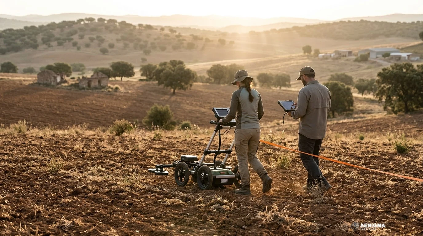
Non-invasive magnetic scans conducted near Fuente Obejuna in southern Spain revealed the buried layout of what researchers identify as an ancient Roman roadside station. The geophysical mapping, documented in the Journal of Archaeological Science: Reports and covered by Archaeology Magazine, recorded structured subsurface features without soil disturbance. The mapped complex lies in the territorial orbit of ancient Mellaria, an ancient settlement situated along Route XI of the imperial Antonine Itinerary. These subterranean traces outline a rectilinear architectural complex consisting of traveler lodging, service rooms, an internal courtyard, and what researchers interpret as a compact bath facility. The site was positioned along the ancient transit corridor connecting Córdoba, the capital of the province of Baetica, with Mérida, the provincial capital of Lusitania. By tracking variations in local magnetic values across the ground, the survey team reconstructed an extensive architectural footprint across the agricultural zone. The investigation represents a step forward in clarifying the physical network of relay stations, resting posts, and municipal outposts that sustained overland transit in the Iberian Peninsula. While earlier surface observations had noted Roman potsherds and building rubble in the surrounding countryside, the magnetic mapping provided the first coherent plan of a specialized roadside facility at this specific juncture. The published dataset illustrates how non-invasive methods reveal buried spatial configurations across extensive agrarian landscapes. Rather than relying on intrusive soundings, the research team used multi-sensor surface recording to trace perimeter walls, partition boundaries, and localized thermal signatures embedded in the subsoil.
What we know
Historical knowledge of Roman road networks depends substantially on imperial itineraries, most notably the Antonine Itinerary. Compiled during the imperial era, this registry recorded primary administrative routes, official transit stops, and inter-station distances across the Mediterranean world. Route XI served as an artery through the Sierra Morena foothills, enabling the movement of soldiers, imperial magistrates, postal couriers, and commercial freight between the fertile Guadalquivir valley and the western territories of Lusitania. Along such overland corridors, the Roman administration maintained a structured hierarchy of roadside posts known as mansiones and mutationes. Mansiones functioned as substantial lodging facilities spaced at intervals of a standard day's travel, offering shelter, food supplies, and security to travelers moving under official requisition or private business. Mutationes operated at shorter intervals as relay points where draft animals and horses could be changed rapidly to maintain the velocity of the cursus publicus, the state postal service. The ancient city of Mellaria served as a regional hub for mining, agriculture, and municipal commerce within this rugged topography. Because overland transport by pack animals and ox-drawn wagons was physically demanding and slow, rural routes required regular rest stations placed every twenty to thirty kilometers. While major administrative cities provided extensive commercial hospitality, interurban stretches relied on standalone rural establishments capable of housing staff, corralling livestock, and protecting goods against highway hazards. Non-invasive geophysical survey methods, particularly surface magnetometry and multi-sensor magnetic gradiometry, record minute localized deviations in the earth's natural magnetic field. Human habitation systematically alters soil properties through organic deposition, earth movement, and the introduction of fired clay artifacts like bricks, ceramic tiles, and hearth linings. When architectural elements collapse and become buried under accumulating sediment over centuries, their magnetic properties generate measurable contrasts against the surrounding natural subsoil. In the survey conducted near Fuente Obejuna, multi-sensor instruments resolved coherent, right-angled anomalies forming enclosed courtyards, perimeter walls, and interior compartments. These linear signatures match the conventional architectural typologies observed in excavated Roman roadside compounds across Spain, France, and Italy. The mapped layout shows an open central space suitable for stabling pack animals alongside organized chambers typical of lodging facilities, storage rooms, and administrative quarters.
What we don't know
Despite the structural clarity of the magnetic imagery, fundamental historical and archaeological questions remain unanswered in the absence of stratigraphic ground investigation. Surface sensors document geometry and material contrast, but they cannot establish absolute calendar dates for the construction, major renovations, or abandonment of the complex. Without stratified ceramic sequences, numismatic finds, or organic materials suitable for radiocarbon dating, scholars cannot determine whether the complex was established in the early Principate, expanded during the middle empire, or repurposed during late antiquity. The physical composition and preservation of the buried walls also remain unverified from surface measurements alone. While magnetic anomalies reflect dense stone, fired ceramic tile, or compacted rubble fill, remote sensing cannot establish whether the walls stood as dressed ashlar masonry, uncoursed fieldstones, or mudbrick superstructures erected on low stone foundations. Similarly, assigning specific functions to individual rooms relies on comparative typological parallels rather than physical artifacts associated with specific daily activities. Furthermore, the exact administrative and legal status of the complex cannot be determined from geophysical mapping alone. Although the overall ground plan resembles a formal imperial mansio, the complex could alternatively represent an expansive private agricultural estate, a specialized villa rustica, or a municipal collection station managing lead and silver transport from nearby mining districts. Without epigraphic inscriptions, stamped lead ingots, or administrative seals, archaeologists cannot confirm whether the station functioned as part of the state cursus publicus or operated as an independent private venture. Finally, the historical cause and timing of the site's abandonment remain entirely unrecorded. The survey data does not indicate whether the complex suffered sudden destruction from fire, experienced gradual decline alongside the shifting economic fortunes of Mellaria's mining sector, or was systematically dismantled for building materials in late antiquity or medieval times.
What is claimed
The principal interpretation advanced in the published study posits that the subterranean anomalies correspond to an official Roman mansio situated along Route XI of the Antonine Itinerary. Under this explanatory model, the facility fulfilled a recognized civic and logistical role in managing overland travel between Córdoba and Mérida. Proponents of this view emphasize the close architectural correspondence between the mapped footprint and recognized staging posts previously investigated across the western Roman provinces. Specifically, the researchers interpret the layout as comprising three core operational sectors: private traveler accommodations, an open service and stabling yard, and a dedicated thermal bath suite. Roadside stations along major highways routinely featured compact baths to refresh travelers after journeys through the arid Sierra Morena foothills. The thermal anomalies recorded in one wing of the compound exhibit high magnetic values consistent with fired brick structures, furnace rooms, or hypocaust underfloor heating systems. The investigators also claim that this discovery pinpoints a previously missing logistical node on Route XI near Mellaria. By identifying an organized establishment of substantial scale at this location, the study suggests that the spatial spacing between known staging posts along the imperial road can now be reconstructed with greater precision. In this view, the compound operated as a state-affiliated checkpoint that provided secure storage, resupply, and communications processing for regional authorities and commercial transport.
What is verified
What stands scientifically verified is the presence of an extensive, highly organized rectilinear structural complex preserved beneath the modern ground surface near Fuente Obejuna. The multi-sensor magnetic survey captured sharp, coherent anomalies displaying perpendicular intersections and regular enclosures characteristic of human construction rather than natural geological formations. The technical findings, peer-reviewed and published in the Journal of Archaeological Science: Reports, confirm the existence of perimeter walls, divided internal chambers, and localized zones of strong thermal alteration. It is also verified that the mapped complex is situated within the documented territorial corridor of ancient Mellaria. The geographic position corresponds directly with the reconstructed trajectory linking the regional urban centers of Roman Baetica and Lusitania. Surface ceramics and building debris previously cataloged by regional surveys corroborate sustained Roman cultural activity across this sector of the countryside. However, the functional designation of the site as an official mansio remains an archaeological hypothesis rather than an established fact. The geophysical instruments detected buried physical boundaries, wall alignments, and magnetic variations, but they did not recover administrative documentation or dateable stratigraphic layers. The current evidence status for the site's specific identification as an imperial road station remains classified as insufficient data until authorized stratigraphic investigation evaluates the buried remains directly.
Competing explanations
- Possible: The subsurface anomalies correspond to a standard Roman mansio (road station) with traveler rooms, a possible bath block, and a stabling yard along Route XI of the Antonine Itinerary.
What would change our assessment
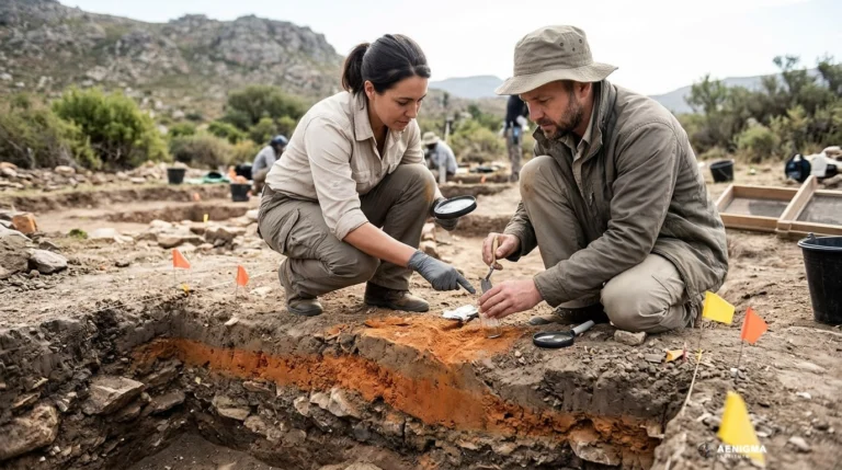
A decisive update to the site's archaeological classification would require formal stratigraphic excavations carried out by licensed research teams under regional heritage permits. Controlled soundings across primary architectural junctions could recover diagnostic fine ceramics, amphora sherds, and coin assemblages from sealed deposits. Such stratified materials would provide secure chronological limits for the initial construction, occupational lifespan, and eventual disuse of the complex. Targeted physical testing of the sector interpreted as a bath suite would provide another critical line of evidence. If archaeological excavation were to expose brick hypocaust pillars, hollow wall flue tiles, hydraulic plaster linings, and formal drainage conduits, the interpretation of a thermal bath facility would be materially confirmed. Conversely, if investigation showed that the magnetic anomalies derived from domestic ovens, smelting hearths, or ceramic kilns, the interpretation of the complex would shift toward agricultural processing or craft production. The discovery of epigraphic inscriptions or administrative artifacts would definitively clarify the compound's official status. Latin inscriptions mentioning public officials, dedications by imperial couriers, or stamped building materials with municipal or military marks would verify an official administrative function. The presence of lead parcel seals, official weight standards, or transport tags would demonstrate an institutional connection to the cursus publicus, distinguishing the site from a private agrarian estate.
Sources
- Archaeology Magazine (supports)
- Journal of Archaeological Science: Reports (supports, primary)
Protocol AENIGMA-EF-0.1