Evidence: Insufficient data Explanation: Not enough data yet
Aboriginal Underwater Sites: What the Marine Stone Tools Really Show
Aboriginal underwater sites off Western Australia preserve physical evidence of ancient landscapes submerged by post-glacial sea-level rise. Research published in Quaternary Science Reviews documents marine stone tool assemblages and lithic sourcing across the drowned continental shelf. AENIGMA examines what seabed investigations reveal about this drowned territory and where critical gaps in data remain.
Why AENIGMA is covering this
The submerged landscapes of the Australian continental shelf represent one of the least explored frontiers of global archaeology. Over two million square kilometers of land where Indigenous peoples lived, hunted, and gathered for hundreds of generations now lies under water. Documenting these drowned environments is critical for building a complete, accurate history of human adaptation to global climate change and sea-level rise. This research also represents an important model of Indigenous collaboration in archaeological science. By partnering directly with Traditional Owners and Indigenous rangers, who maintain enduring cultural connections to sea country, the investigation bridges deep cultural knowledge with non-destructive marine survey science. AENIGMA covers these developments to provide an objective, evidence-based account of submerged archaeology, separating confirmed seabed finds from speculative claims.
What happened
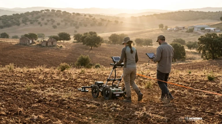
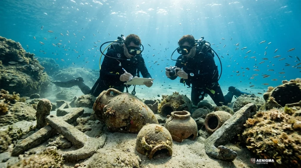
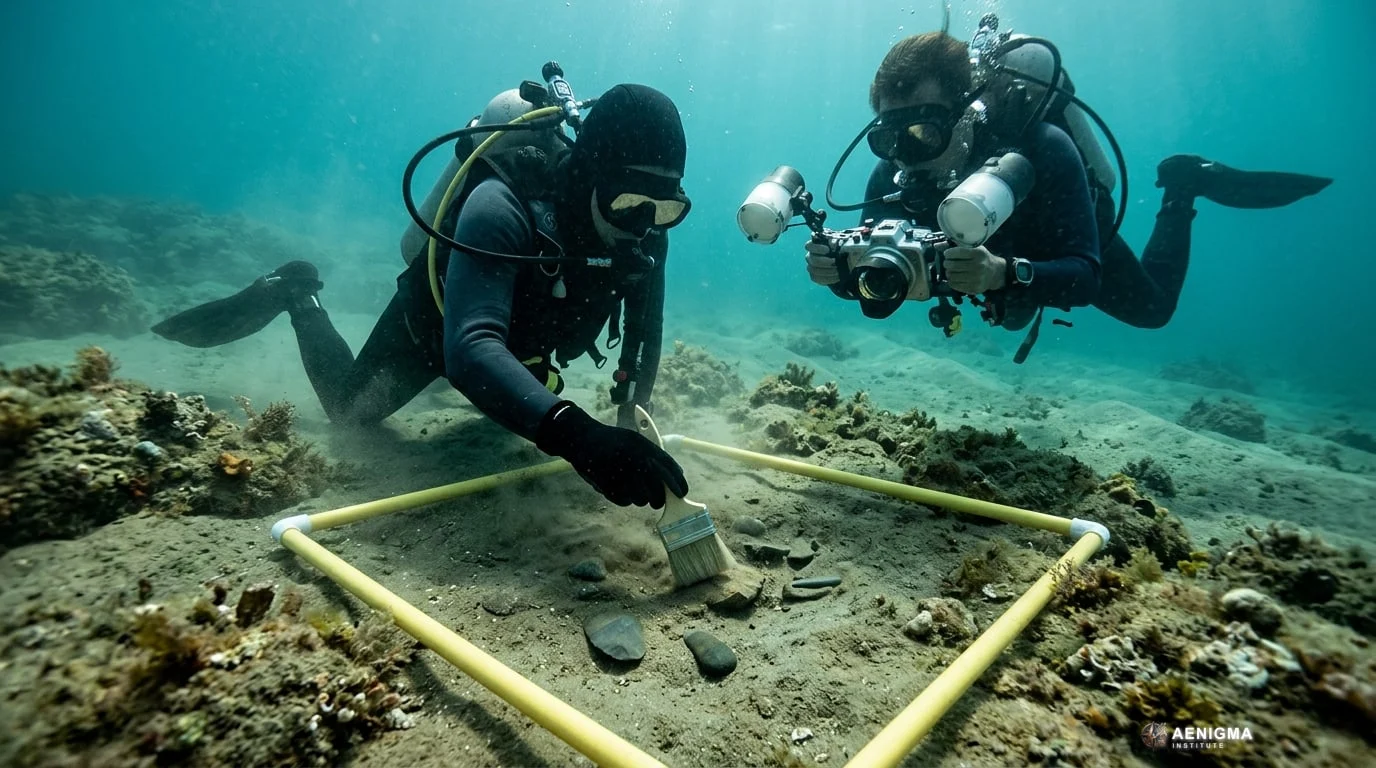
Marine archaeologists and Indigenous researchers documented two submerged archaeological sites off the coast of Western Australia, revealing stone tools preserved on the seabed. The peer-reviewed findings, detailed in Quaternary Science Reviews and reported across international science media including Phys.org and Archaeology Magazine, mark a significant development in Australian shelf archaeology. Scientific divers identified dozens of worked stone artifacts lying in shallow coastal waters that were once dry river valleys and coastal plains. Rising global oceans inundated vast expanses of the Australian continental landmass following the Last Glacial Maximum. The submerged cultural materials represent surviving traces of ancient land surfaces that were flooded when post-glacial sea levels stabilized thousands of years ago. Field teams employed acoustic seabed mapping, underwater visual assessment, and scientific diving to locate and record these lithic scatters in their marine setting. The project brought together university-based maritime researchers and Traditional Owner groups, incorporating Indigenous ranger co-authorship throughout the survey and reporting phases. Collaborative marine survey work of this scale reflects an evolving approach to maritime archaeology, recognizing sea country as an unbroken cultural landscape rather than an empty marine expanse.
What we know
The physical reality of sea-level fluctuation is well documented in Quaternary geological records across the globe. During the Last Glacial Maximum, sea levels stood more than one hundred meters lower than present day, exposing more than two million square kilometers of the Australian continental shelf. This vast territory, sometimes termed maritime Sahul, sustained Indigenous populations for tens of thousands of years before melting ice sheets reshaped global coastlines. Between roughly eighteen thousand and seven thousand years ago, rising waters drowned these expansive coastal plains, displacing coastal communities and submerging habitable river valleys, freshwater springs, and raw material quarries. Archaeological investigations on terrestrial margins adjacent to drowned shelves have long hinted that extensive cultural records must lie underwater. Identifying surviving physical evidence in high-energy marine settings, however, remains exceptionally rare because storm activity and tidal currents often scatter or destroy cultural deposits. At the recorded Western Australian locations, researchers documented identifiable stone tools exhibiting deliberate human modification, including flake scars, retouching, and platform preparation. Sourcing of the lithic material indicates that ancient toolmakers selected specific local and regional rock types, transporting raw stone across dry land surfaces that now lie beneath meters of seawater. Sedimentary and bathymetric data demonstrate that these former valleys were permanently inundated by post-glacial marine transgression at least nine thousand years ago. The methodological approach relied on high-resolution bathymetric surveys, side-scan sonar, and marine drop cameras to locate promising submerged landforms, such as relic drainage channels and sheltered fossil shorelines. Scientific divers systematically surveyed target zones, mapping coordinates, tool orientations, and associated seabed geology without disturbing fragile context. The presence of identifiable stone tools confirms that lithic material can survive catastrophic marine transgression under specific taphonomic conditions.
What we don't know
Significant gaps remain regarding the precise age and depositional history of the submerged stone tool scatters. Because stone artifacts themselves cannot be dated directly with standard radiocarbon methods, their temporal attribution relies entirely on the geological age of the surrounding marine sediments and global sea-level curves. If an artifact was dropped onto an exposed valley floor shortly before marine flooding, it reflects terminal pre-inundation occupation; if it was deposited millennia earlier, its primary context may have undergone substantial change. The degree of post-depositional transport remains difficult to evaluate definitively across entire seabed features. While some artifacts rest in sheltered marine pockets, strong tidal surges, storm swells, and cyclone activity frequently redistribute seabed clasts over long time spans. Determining whether a stone tool remains in its exact primary drop position or has been shifted by hydrodynamic forces requires micro-stratigraphic excavation of the underlying seafloor sediment, which is technically challenging underwater. Researchers also do not know the preservation status of perishable organic materials at these sites. Terrestrial sites from the same chronological horizon often yield animal bone, botanical fibers, charcoal, and ochre, whereas the high-oxygen marine environment documented so far has only preserved durable chert, silcrete, and igneous stone. Whether undisturbed organic layers exist sealed beneath protective marine sediment blankets remains an open empirical question. Finally, the geographic density of submerged sites across the wider Western Australian shelf is largely unmapped. Two documented locations provide proof of concept, but they do not reveal whether surviving sites represent rare, sheltered anomalies or fragments of an extensive, well-preserved archaeological landscape spanning hundreds of miles.
What is claimed
The core interpretation presented in the research is that the documented marine stone tools represent intact evidence of human occupation, lithic raw material selection, and deliberate transport across terrain that was submerged at least nine thousand years ago. Under this view, ancient Indigenous populations systematically utilized coastal and riverine corridors of the exposed shelf, fashioning tools and managing resources until rising marine waters permanently covered the region. Media reporting based on the publication emphasized the discovery of drowned cultural landscapes, framing the underwater tool scatters as a direct physical window into coastal life during the transition out of the last ice age. The accounts highlight that the stone materials reflect deliberate human manufacturing rather than natural rock breakage or ballast dropped from historic sailing vessels. The published material also claims that submerged shelf research can reshape modern understandings of ancient migration, demography, and adaptations to rapid environmental transformation. By demonstrating that stone tools survive marine inundation, the research asserts that continental shelves worldwide must be integrated into models of early human settlement and coastal dispersal.
What is verified
Verified physical findings include the recovery and underwater photographic recording of stone artifacts exhibiting clear technological traits of human manufacture. Microscopic and macro-morphological analysis confirmed negative flake scars, distinct striking platforms, and edge retouch on stone types foreign to the immediate marine substrate. These morphological features distinguish the objects from geofacts produced by wave rolling or geological fracturing. Petrological analysis confirmed that the raw stone matches regional lithic sources found in nearby terrestrial geological formations. The spatial distribution of the tools across the seafloor correlates with drowned terrestrial drainage features mapped through high-resolution bathymetry. Scientific consensus acknowledges that these features represent former subaerial valleys that were completely submerged as post-glacial seas advanced. The formal publication of the site record in Quaternary Science Reviews confirms that the survey methodology, hydrodynamic assessments, and lithic classifications underwent standard scientific evaluation. The baseline documentation establishing the presence of human-modified stone on the submerged shelf is sound, although the wider interpretive modeling of landscape-scale use remains an evolving area of study.
Competing explanations
- Possible: Stone tools and lithic raw material sourcing demonstrate human occupation, tool selection, and transport across terrain that was submerged by post-glacial sea-level rise at least 9,000 years ago.
What would change our assessment
The current status of insufficient data would change if researchers obtain direct, stratified chronologies from marine sediment cores enclosing the stone artifacts. Recovering tools embedded within undisturbed subaerial soil horizons beneath the marine mud layer, accompanied by optically stimulated luminescence (OSL) dates or radiocarbon dates from terrestrial macrofossils, would definitively fix the occupation timeline. Conversely, hydrodynamic modeling or taphonomic studies demonstrating that intense wave action can transport heavy stone clasts across significant seabed distances would weaken claims of in situ settlement. If marine current simulations show that the artifacts could have been washed out of nearby modern coastal cliffs and deposited on the seabed during recent storm surges, the connection to early drowned landscapes would require substantial revision. Expanding systematic underwater surveys along adjacent stretches of the continental shelf would also clarify whether these assemblages represent isolated, unique deposits or predictable components of submerged palaeolandscapes. Consistent documentation of buried, undisturbed hearths, food remains, or associated organic material would elevate the evidence from exploratory marine observation to confirmed stratigraphic settlement archaeology.
Sources
- on.cc東網 (supports)
- Phys.org (supports)
- Archaeology Magazine (supports)
- Quaternary Science Reviews (supports, primary)
Protocol AENIGMA-EF-0.1