Evidence: Insufficient data Explanation: Not enough data yet
Machu Picchu and What Newly Reported Inca Roadways Really Show
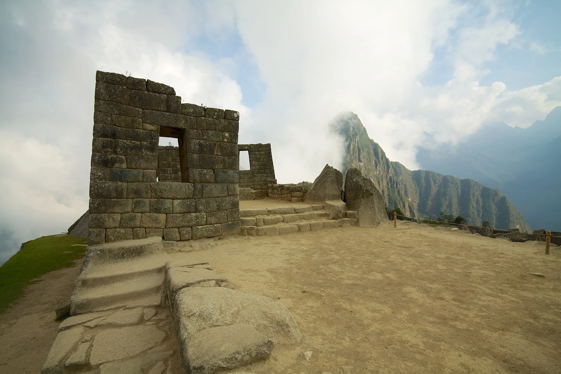
Machu Picchu remains at the centre of Andean archaeology, yet recent reports describe a previously undocumented network of roads and stone agricultural terraces emerging from remote airborne scanning of the dense cloud forests nearby. Initial assessments suggest these features may connect peripheral administrative settlements across the rugged Urubamba Valley, though physical verification on the ground awaits planned field work in 2027.
Why AENIGMA is covering this
The landscape surrounding Machu Picchu represents one of the most culturally significant and ecologically sensitive archaeological zones on Earth. Public fascination with Inca civilization frequently drives intense interest in newly reported discoveries, yet sensational narratives often blur the vital distinction between processed aerial imaging and confirmed archaeological monuments on the ground. Reporting on these findings provides an opportunity to examine the realistic capabilities and limitations of aerial scanning technologies in forested environments. While digital mapping represents an invaluable preliminary reconnaissance tool, it serves as the beginning of the scientific process rather than its conclusion. Without rigorous ground surveys, structural recording, and physical conservation, remote signatures cannot tell the full human story of the people who inhabited these high mountain slopes. Furthermore, this development highlights the critical operational balance between scholarly transparency and cultural heritage preservation. Highlighting the deliberate withholding of exact coordinates underscores the severe risks posed by illicit artifact hunting and unsupervised site visitation in fragile wilderness environments. Following the development of this project through its projected 2027 field phase offers readers an authentic perspective on how modern archaeology works to protect, verify, and understand the deep human history of the Andes.
What happened
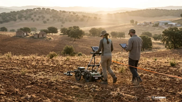
International media reports initiated by The Debrief and later syndicated through regional outlets have drawn public attention to a reported archaeological survey near Machu Picchu. According to these accounts, an airborne survey utilising light detection and ranging technology recorded structural signatures across heavily overgrown mountain terrain in the surrounding valleys. The processed elevation models revealed linear alignments, terrace retaining walls, and pathway traces that appear to link peripheral sites to the primary transport arteries of the regional Inca state. Dense sub-tropical cloud forest, often referred to in Andean ecology as the ceja de selva or eyebrow of the jungle, blankets the eastern slopes of the Peruvian Andes. For centuries, this heavy canopy has concealed masonry complexes, hydraulic works, and stone-paved highways from both aerial photography and satellite sensors operating in the visible spectrum. The recent reports indicate that modern remote sensing has penetrated this vegetative shield to produce bare-earth surface reconstructions, pinpointing linear features resembling Inca road segments. The project team responsible for the survey has intentionally refrained from releasing precise geographic coordinates or high-resolution spatial maps of the newly identified ruins. Their stated objective in withholding spatial data is safeguarding the fragile stone architecture and any subsurface deposits from illicit excavation, unauthorized visitation, or organized looting before institutional protection can be formalized on site.
What we know
The Inca Empire, or Tawantinsuyu, constructed one of the most sophisticated communication and transport networks in pre-industrial history, known collectively as the Qhapaq Ñan. Stretching thousands of kilometres across coastal deserts, alpine plateaus, and jagged mountain ranges, this network relied on stone-paved roads, staircases cut directly into living rock, retaining walls, and suspension bridges. Roads functioned as logistical lifelines for state couriers, troop movements, redistribution of agricultural produce, and administrative oversight from regional imperial centres. Machu Picchu was not an isolated mountain retreat disconnected from the surrounding territory, but rather an integral component of a dense regional landscape established during the fifteenth century under the patronage of the Inca emperor Pachacuti. Throughout the Urubamba Valley and adjacent drainage basins, settlements such as Ollantaytambo, Patallacta, Wiñay Wayna, and Choquequirao were interconnected by a complex spiderweb of primary and secondary routes. Peripheral administrative installations, grain storage complexes, religious shrines, and terraced agricultural stations flanked these routes, ensuring self-sufficiency and imperial control over varying ecological zones. Airborne laser scanning has emerged over the past two decades as a transformative tool in tropical and forested archaeology across Latin America. By emitting hundreds of thousands of laser pulses per second from an aircraft or aerial drone and recording the precise travel time of returning light reflections, the sensor captures both the upper forest canopy and the minuscule fractions of light that penetrate to the forest floor. Computational filtering removes the vegetation returns, leaving an accurate bare-earth digital terrain model that accentuates subtle topographic anomalies such as sunken roads, low stone walls, and stepped agricultural terraces. Similar remote sensing campaigns in Central and South America have repeatedly demonstrated that complex pre-Columbian landscapes were far more densely settled and extensively modified than previously recognised. However, archaeological standards dictate that remote sensing signatures represent remote anomalies until they are examined in person through formal archaeological surface reconnaissance, architectural assessment, and systematic test excavations. The research group behind the current survey has formally designated 2027 as the period intended for their inaugural on-the-ground survey campaign to investigate these coordinates directly.
What we don't know
Significant gaps remain in the publicly available archaeological record regarding these reported alignments. Because field teams have not yet completed systematic pedestrian exploration of the dense jungle terrain, the actual structural preservation of the stone paving, drainage conduits, and terrace walls remains unrecorded. It is unknown whether the features survive as standing stone masonry, collapsed rubble fields, or eroded earthen footpaths that have experienced centuries of tropical weathering and root displacement. The chronological placement of the mapped features is likewise undetermined. While the spatial alignment of the roads suggests integration with the fifteenth-century expansion of Tawantinsuyu, the cloud-forest zones east of the Andes accommodated human populations and trade networks for centuries prior to the rise of the Inca state. Without formal excavations beneath paving stones, radiocarbon dating of stratigraphically associated organic remains, or the discovery of diagnostic ceramic fragments, researchers cannot establish whether these roadways were built by the imperial Inca, modified from earlier regional cultures, or adapted during post-conquest transitional periods. Furthermore, the precise dimensions, continuity, and structural layout of the reported terraces and ancillary buildings are not detailed in the available materials. Aerial sensors occasionally produce false positives where linear geological fault lines, natural rock escarpments, old livestock tracks, or modern forestry clearing paths mimic anthropogenic structures in processed hillshade models. Until an authorized survey examines the physical ground beneath the tree canopy, the extent and structural integrity of this presumed network cannot be firmly established.
What is claimed
Coverage in the media presents the remote sensing results as the discovery of an extensive, previously forgotten network of Inca thoroughfares and agricultural terraces that fundamentally expands our knowledge of the territory surrounding Machu Picchu. These accounts suggest that the infrastructure linked undocumented outlying installations directly into the centralized imperial network, serving both economic and administrative functions for the regional administration in the Urubamba Valley. Commentary circulating around the survey suggests that modern airborne laser scanning has effectively unlocked a sector of the cloud forest that proved impenetrable to generations of terrestrial explorers. Popular discussions frame the discovery as an entirely intact system of highways awaiting physical clearance and documentation, emphasising the pristine isolation of the ruins beneath dense jungle cover. Additionally, reports highlight the researchers' decision to maintain strict confidentiality regarding the locations of the mapped features. The narrative presents this secrecy as an urgent protective shield against modern looting networks and unregulated trekking, asserting that keeping the digital coordinates off public platforms will ensure the complete preservation of the cultural heritage until professional teams can enter the field in 2027.
What is verified
At present, the independently verified record is confined to the initial reporting and the technical viability of the airborne survey method itself. Remote sensing data acquired via aerial laser pulses can successfully identify surface relief anomalies beneath thick vegetation, a methodology that is well-documented in scientific literature across Andean and Mesoamerican forested regions. The existence of complex Inca infrastructure in the Urubamba drainage basin is similarly grounded in decades of rigorous field archaeology. However, independent archaeological confirmation of the newly reported road network does not yet exist in published, peer-vetted scientific literature. The primary evidence presented thus far stems solely from initial media releases and secondary journalistic aggregations. The raw spatial point clouds, elevation algorithms, and diagnostic ground-truth verifications remain unpublished. Official recognition and statutory confirmation of archaeological discoveries in Peru fall under the regulatory authority of the Peruvian Ministry of Culture. Standard legal frameworks require formal institutional permits, registered survey projects, and rigorous monitoring before any structural complex can be certified as an authentic state archaeological monument. Because ground-based recording and formal administrative documentation are still pending, the status of these features remains classified as unverified remote indications rather than confirmed archaeological monuments.
Competing explanations
- Possible: The LiDAR mapping documents an ancient Inca roadway and terrace system constructed across the Urubamba Valley to link peripheral administrative and agricultural installations to the broader network around Machu Picchu.
What would change our assessment
The evidentiary status of this reported network would advance substantially following the execution of the projected 2027 terrestrial expedition. Physical access to the survey sector will enable archaeologists to conduct pedestrian ground-truthing, documenting the physical presence of characteristic Inca masonry, retaining curbs, drainage culverts, and staircase sequences that distinguish imperial roads from natural landforms or pastoral trails. Clear diagnostic evidence would also stem from controlled subsurface testing. Excavation trenches placed across road profiles or within terrace soils could recover datable materials, including stratified ceramic sherds, lithic tools, and charcoal samples suitable for accelerated mass spectrometry radiocarbon dating. Such material associations would establish firm chronological parameters and define the cultural affiliation of the builders. Comprehensive architectural mapping, combined with peer-reviewed publication of both the raw airborne sensor datasets and physical documentation, would provide the broader scholarly community with the necessary data to evaluate the find. Official registration of the complex within the Peruvian national archaeological registry, alongside formal protective designations by regional heritage authorities, would resolve existing ambiguities and secure the preservation of the landscape.
Sources
- The Debrief (supports, primary, unverified)
- BGNES (supports, unverified)
Protocol AENIGMA-EF-0.1