Evidence: Unsubstantiated Explanation: Not enough data yet
More than 2.5 km of previously unknown Inca roads reported near Machu Picchu
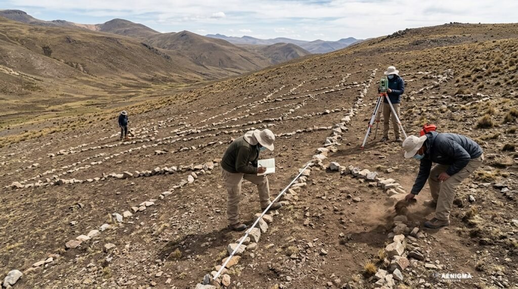
Media reports indicate that over 2.5 kilometers of previously unmapped linear features, interpreted as Inca roads, have been identified near Machu Picchu. The features were mapped using drone-based LiDAR technology across the Urubamba River from the main settlement. The evidence status for these claims is currently unsubstantiated due to insufficient data.
Why AENIGMA is covering this
This topic is covered to provide historical context on the known extent of the Inca road network and to explain how remote sensing technologies like LiDAR are utilized to map topographical features in densely vegetated areas like the Urubamba Valley.
What happened
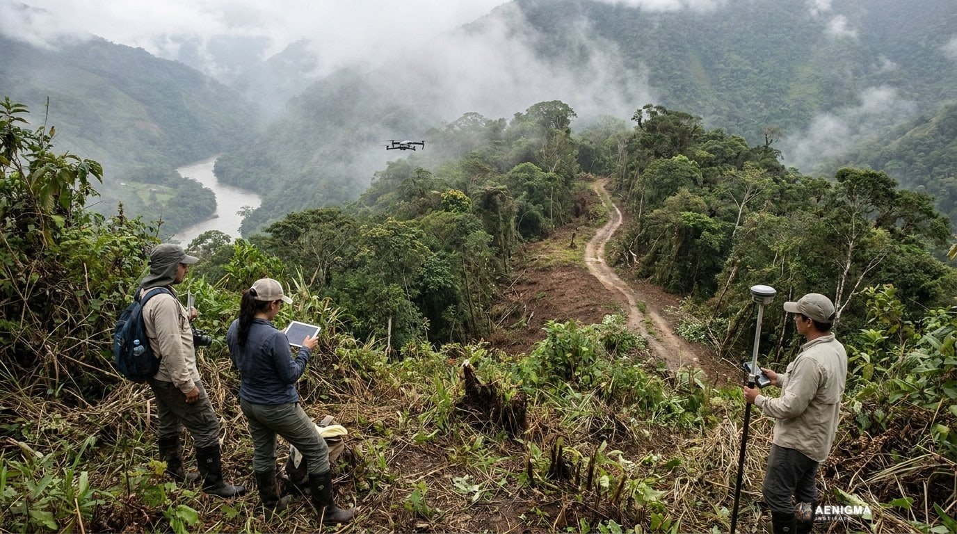
Archaeology News Online Magazine reported the identification of more than 2.5 kilometers of previously unknown linear features near Machu Picchu. These features are located on the opposite side of the Urubamba River from the main settlement and were mapped using drone-based LiDAR (Light Detection and Ranging) surveys.
What we know
We know that drone-based LiDAR technology is used to map terrain beneath dense vegetation canopies. It functions by emitting laser pulses from a drone and measuring the time it takes for the light to return, creating a topographical map of the ground surface without requiring physical excavation. We also know the Inca road network was an extensive system connecting the empire, and mapping its full extent provides context for regional activity. The source reporting this survey is Archaeology News Online Magazine.
What we don't know
We do not know the exact physical composition of these mapped features, as ground-truthing and physical surveys have not been detailed in the provided reports. It is not known when these features were constructed or if they connect to other specific, unmapped settlements.
What is claimed
It is claimed that the mapped features are part of the Inca road network. This interpretation suggests substantial activity occurred on the opposite side of the Urubamba River from the main Machu Picchu settlement.
What is verified
It is verified that Archaeology News Online Magazine published a report regarding these mapped features. However, the physical existence of the roads as Inca constructions remains unsubstantiated by independent archaeological verification in the provided data.
Competing explanations
- Possible: The mapped features are part of the Inca road network, indicating substantial activity on the opposite side of the Urubamba River from the main Machu Picchu settlement.
What would change our assessment
The assessment would change if peer-reviewed archaeological studies, including ground surveys and material analysis of the features, were published to confirm their origin, construction date, and function.
Sources
- Archaeology News Online Magazine (supports)
Protocol AENIGMA-EF-0.1