Evidence: Unsubstantiated Explanation: Not enough data yet
Andes Geoglyph: What the satellite images of the stone structures really show
Reports of an impressive Andes geoglyph visible from space have circulated following recent satellite imagery analysis. While the stone structures are proposed to be a ceremonial site linked to the Inca road network, the current evidence remains unsubstantiated pending formal ground surveys.
Why AENIGMA is covering this
The reports of an impressive archaeological discovery in the Andes visible from space have generated significant international interest, particularly within French-speaking media. Translating and contextualizing this English-language report provides essential clarity for a broader global audience. When news of large-scale satellite discoveries circulates, it is crucial to provide an evidence-based perspective that separates preliminary observations from confirmed scientific facts. Furthermore, the potential connection of these structures to the Qhapaq Ñan road network touches upon a subject of immense historical and cultural importance. The Great Inca Road is a marvel of ancient engineering and a vital component of South America's heritage. By examining claims related to this network, we provide valuable historical context regarding the broader study of Andean civilizations and the ongoing efforts of initiatives like the Arqueoandes project. Covering this topic allows for a detailed explanation of how modern archaeological prospection operates. It highlights both the capabilities and the limitations of satellite imagery in identifying ancient landscape modifications. By outlining the rigorous field methods required to verify such remote observations, we ensure that the public understands the necessary scientific process. This approach fosters a more informed understanding of how archaeological knowledge is constructed and validated in challenging environments like the high Andes.
What happened
Reports have recently circulated regarding an impressive archaeological discovery in the Andes mountain range. According to media accounts, including a report by HeritageDaily, stone structures forming a large pattern have been identified in the high-altitude region. These formations are described as being visible from space, a term generally referring to their identification through commercial or scientific satellite imagery. The initial observations suggest the presence of a large-scale geoglyph or structural complex situated in a remote area. The identification of these structures relies heavily on remote sensing technology. In modern archaeological practice, researchers frequently utilize high-resolution satellite images to survey vast and often inaccessible landscapes. This method allows for the preliminary identification of surface anomalies that may indicate past human activity. The structures in question appear as distinct geometric or figurative patterns against the natural topography of the Andean terrain, prompting further investigation by specialists. The context of this observation is tied to broader research initiatives, such as the Arqueoandes project, which focuses on documenting the rich archaeological heritage of the region. Projects of this nature aim to map ancient infrastructure and ceremonial sites across the complex geography of the Andes. The current reports highlight the potential of satellite archaeology to identify large-scale landscape modifications that might be difficult to perceive from the ground level. However, the transition from a satellite observation to a confirmed archaeological site involves multiple stages of investigation. The initial imagery provides a two-dimensional representation of the surface, capturing the arrangement of stones or soil disturbances. While these images are crucial for locating potential sites, they represent only the first step in the archaeological process. The reports of this discovery have generated significant interest due to the scale of the structures and their potential historical implications.
What we know
The Andes mountain range is one of the longest and highest mountain systems in the world, stretching along the western edge of South America. This formidable landscape, characterized by extreme altitudes, deep valleys, and arid plateaus, has been home to complex human societies for thousands of years. Adapting to these harsh environmental conditions required significant technological and social innovation. The region is consequently rich in archaeological remains, reflecting millennia of continuous occupation and cultural development. The most renowned of these Andean civilizations is the Inca Empire, known as Tawantinsuyu, which reached its zenith in the fifteenth and early sixteenth centuries. The Inca managed a vast territory that encompassed diverse ecological zones, from the coastal deserts to the high Andean peaks and the fringes of the Amazon basin. To integrate and administer this expansive empire, the Inca constructed an unprecedented network of infrastructure. This system was essential for the movement of armies, the transport of goods, and the rapid transmission of information across vast distances. Central to this infrastructure was the Qhapaq Ñan, or the Great Inca Road. This monumental road network spanned tens of thousands of kilometers, linking the imperial capital of Cusco to the farthest reaches of the empire across modern-day Argentina, Chile, Bolivia, Peru, Ecuador, and Colombia. The Qhapaq Ñan is recognized as a marvel of ancient engineering, featuring paved pathways, suspension bridges spanning deep gorges, and carved steps ascending steep mountain passes. It is currently designated as a UNESCO World Heritage site, acknowledging its outstanding universal value and its role in shaping the cultural landscape of the Andes. Along the Qhapaq Ñan, the Inca established numerous way stations known as tampus, as well as administrative centers and ceremonial sites. The high-altitude environment held profound spiritual significance for Andean peoples. Mountains, known as apus, were often venerated as powerful deities that controlled weather and water sources. Consequently, many ceremonial structures and shrines were built at significant elevations, often in direct association with the road network. These sites served as locations for state-sponsored rituals and offerings. The creation of geoglyphs—large designs or motifs produced on the ground—is a well-documented cultural practice in South America. The most famous examples are the Nazca Lines in the coastal desert of Peru, but geoglyphs are also found in the Atacama Desert and various highland regions. These landscape-scale artworks were typically created by arranging stones to form positive geoglyphs or by removing the oxidized surface stones to expose the lighter soil beneath to form negative geoglyphs. They served various purposes, including ceremonial pathways, astronomical alignments, and territorial markers. The Arqueoandes project represents the ongoing academic effort to systematically study and preserve these types of archaeological features. Research in the Andes often requires a multidisciplinary approach, combining remote sensing, ethnohistorical research, and traditional field archaeology. Understanding the spatial relationship between infrastructure like the Qhapaq Ñan and ceremonial sites is a primary objective for researchers working in this region. The harsh climate of the high Andes often aids in the preservation of stone structures, allowing them to remain visible on the surface for centuries.
What we don't know
Despite the compelling nature of the satellite imagery, the current explanation status for these stone structures remains categorized as insufficient data. Primarily, we do not know the exact age of the site. Without physical evidence recovered from the location, assigning a definitive chronological period is impossible. The structures could date to the Late Horizon, corresponding to the Inca Empire, or they could belong to an earlier epoch entirely. The cultural attribution of the geoglyph is similarly unconfirmed. While the Andes are heavily associated with the Inca, the region was previously dominated by numerous other complex societies. Cultures such as the Wari, Tiwanaku, and various regional polities also constructed extensive infrastructure and ceremonial centers. We do not know if the site was originally built by one of these pre-Inca cultures and perhaps later reused or modified by the Inca, a common practice in Andean antiquity where sacred landscapes were continually re-signified. Furthermore, the exact function of the stone structures is not known. Although a ceremonial purpose is frequently proposed for large-scale geoglyphs, this remains an interpretation rather than an established fact. The site could have served as a wayfinding marker for travelers navigating the high passes, a territorial boundary delineating different administrative zones, or a location for specific astronomical observations. Without detailed spatial analysis and contextual data from the ground, the specific use of the site cannot be determined. We also lack information regarding the structural integrity and the subsurface composition of the site. Satellite imagery only captures the uppermost layer of the landscape. It cannot reveal whether the visible stones are part of deeper foundations, nor can it show buried features, stratigraphy, or smaller artifacts. The presence of associated structures, such as temporary shelters or offering pits, remains unknown until a physical survey is conducted. Finally, the precise relationship between these structures and the Qhapaq Ñan is not definitively established. While the site may be located in proximity to known routes of the Inca road network, proximity alone does not prove a functional or contemporaneous link. We do not know if the geoglyph was an integral part of the road's ceremonial landscape or an independent feature constructed for unrelated reasons. The lack of ground-truthing leaves these critical historical questions unanswered.
What is claimed
The reports surrounding the satellite images present specific interpretations regarding the nature and origin of the stone structures. The leading explanation proposed in the media coverage is that the formations constitute a ceremonial geoglyph constructed during the Inca period. This interpretation suggests that the site was a deliberate landscape modification designed for ritualistic purposes, reflecting the spiritual practices of the Tawantinsuyu. Under this leading explanation, the geoglyph is potentially linked to the Qhapaq Ñan road network. Proponents of this view suggest that the site served as a significant waypoint or sanctuary for those traveling along the imperial highway. In this context, the monumental scale of the structures, visible from high vantage points or even from space, is interpreted as a demonstration of state power and religious devotion. The alignment and location of the site are claimed to be strategically chosen to interact with the surrounding sacred geography. A competing explanation posits that the complex was built for ritual purposes by a culture predating the expansion of the Inca Empire. This possible scenario suggests that the geoglyph is a legacy of an earlier Andean civilization. If this claim holds true, it would indicate that the practice of creating large-scale stone alignments in this specific high-altitude region has deeper chronological roots than the Late Horizon. This alternative explanation also implies that the Inca may have encountered the site during their territorial expansion. It is claimed that such pre-existing sacred sites were often incorporated into the Inca's own religious and administrative networks. The reports emphasize the impressive nature of the discovery, highlighting the sheer size of the structures as evidence of a highly organized labor force, regardless of whether that force was mobilized by the Inca or an earlier polity.
What is verified
The current evidence status regarding the archaeological nature of these stone structures is unsubstantiated. What is verified is that satellite imagery displays anomalous patterns on the surface of the Andean landscape. These patterns visually resemble constructed stone features and form a distinct arrangement that stands out from the surrounding natural topography. The existence of these visual anomalies in the remote sensing data is a documented fact. It is also verified that HeritageDaily, a media outlet, has published a report detailing these observations and the associated interpretations. The publication of the claim that these structures represent an impressive archaeological discovery visible from space is confirmed. However, the publication of a claim does not equate to the scientific verification of the site itself. The interpretations presented in the media remain hypotheses based on remote observation. The classification of the site as a definitive Inca or pre-Inca ceremonial geoglyph has not been verified through published, peer-reviewed archaeological fieldwork. In the discipline of remote sensing archaeology, an anomaly observed from orbit is categorized as a region of interest or a potential target. It cannot be verified as a confirmed archaeological complex until physical evidence is gathered and analyzed by specialists on the ground. Therefore, the claims regarding the site's cultural affiliation, its exact age, and its specific function as a ritual center linked to the Qhapaq Ñan remain unsubstantiated. Satellite imagery, while a powerful tool for prospection, cannot independently verify the historical context or the subsurface reality of a potential site. The current data is insufficient to elevate the status of these stone structures beyond that of an unverified landscape anomaly.
Competing explanations
- Leading: The stone structures form a ceremonial geoglyph constructed during the Inca period, potentially linked to the Qhapaq Ñan road network.
- Possible: The complex was built for ritual purposes by a culture predating the expansion of the Inca Empire.
What would change our assessment
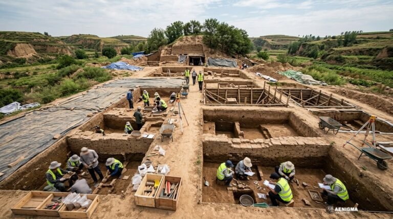
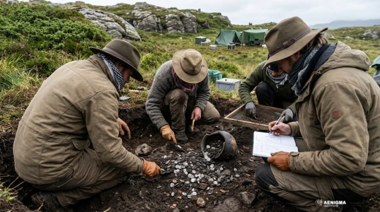
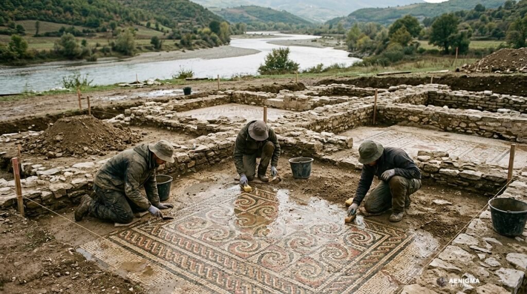
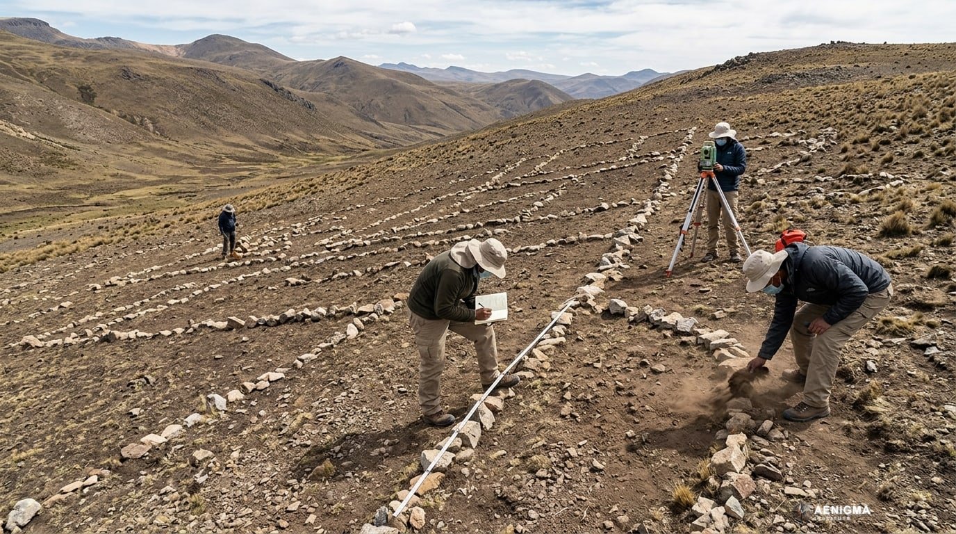
To change the assessment of this site from an unsubstantiated satellite anomaly to a verified archaeological discovery, a comprehensive and systematic field investigation is required. The first necessary step is a pedestrian survey. Archaeologists must physically visit the location to map the surface features using high-precision Global Positioning System equipment. This ground-truthing process would confirm whether the patterns seen from space are indeed anthropogenic stone structures or natural geological formations. During the pedestrian survey, researchers would conduct a systematic surface collection. They would search for diagnostic artifacts, such as pottery sherds, lithic tools, or architectural fragments. The style, manufacturing techniques, and decoration of these artifacts can provide crucial evidence for relative dating and cultural affiliation. Finding distinctively Inca ceramics, for example, would strongly support the leading explanation, while the presence of older pottery styles would bolster the competing pre-Inca hypothesis. If surface evidence is insufficient to determine the site's history, targeted test excavations would be necessary. Excavation allows archaeologists to examine the stratigraphy, which is the layered sequence of soil and human occupation. By carefully removing soil layers, researchers can understand the construction methods used to build the stone structures and identify any distinct phases of use or modification over time. Excavation also increases the likelihood of recovering materials suitable for absolute dating. To establish a precise chronological framework, scientists would need to employ absolute dating techniques. If organic materials, such as charcoal from hearths, botanical remains, or bone, are recovered from secure contexts beneath or within the structures, they can be subjected to radiocarbon dating. Alternatively, techniques like Optically Stimulated Luminescence could be used on the soils directly underlying the stones to determine the last time those sediments were exposed to sunlight, thereby dating the construction event. Finally, a detailed architectural and spatial analysis would be required. Experts would compare the construction techniques, stone masonry styles, and spatial layout of the site with known, well-documented Inca and pre-Inca sites in the region. Furthermore, a broader landscape analysis would be necessary to definitively establish any functional or physical connection between the geoglyph and the Qhapaq Ñan road network. Only through this rigorous combination of field methods and laboratory analysis can the claims surrounding the site be scientifically evaluated.
Sources
- HeritageDaily (supports)
Protocol AENIGMA-EF-0.1