Evidence: Insufficient data Explanation: Not enough data yet
Ground-Penetrating Radar and AI: Mapping the Subsurface with Edge Computing
Ground-penetrating radar and multi-agent artificial intelligence are converging to transform subsurface geophysical exploration. The Noetic Lab framework integrates edge computing and augmented reality to bridge the gap between expensive enterprise platforms and lower-tier commercial tools, bringing advanced, real-time data synthesis directly to the field.
Why AENIGMA is covering this
This editorial examines the proposed integration of multi-agent artificial intelligence and edge computing within the field of applied geophysics. As technological advancements increasingly allow for complex computational tasks to be performed on mobile platforms, it is necessary to document these emerging frameworks and their impact on field sciences. The shift from centralized, post-survey data processing to real-time, on-site intelligence represents a major paradigm change for archaeologists, geologists, and forensic investigators. By bringing enterprise-level analytical power to the edge of the network, these systems reduce logistical bottlenecks and enable dynamic decision-making during active surveys. Documenting the architecture, applications, and official deployments of systems like the Noetic Lab framework provides crucial insight into the future trajectory of subsurface exploration and the growing role of artificial intelligence in mapping the unseen environment beneath our feet.
What happened
The evolution of geophysical exploration has long been characterized by a demand for high precision, operational efficiency, and cost-effectiveness. Historically, the field of subsurface imaging has been heavily polarized, forcing practitioners to choose between two extremes. On one end of the spectrum are enterprise-grade software suites and specialized heavy hardware. These traditional high-end platforms present significant financial and logistical barriers. They require substantial capital expenditures, extensive operator training, and prolonged data processing cycles in centralized laboratories. Field crews often spend weeks collecting raw data, only to wait months for geophysicists to process, filter, and interpret the radargrams or resistivity profiles off-site. On the other end of the spectrum are lower-tier, consumer-grade commercial applications. These alternatives frequently suffer from high uncertainty, limited resolution, and an inability to handle complex noise suppression. In challenging soil conditions, this lack of processing power can lead to high false-positive rates, misidentified anomalies, and costly field errors. The gap between these two extremes has left a significant void for mid-tier and advanced field operators who require enterprise-level insights without the logistical burden of centralized processing. To address these limitations, broader technological advancements in edge computing and deep learning have prompted the development of integrated mobile frameworks. A novel paradigm in subsurface characterization is the Noetic Lab architectural framework, which is designed to democratize high-precision geophysical analysis. The goal of this framework is to facilitate advanced subsurface imaging on mobile platforms without compromising analytical rigor. By shifting the operational paradigm from post-survey speculation to immediate, data-driven field intelligence, operators can make critical decisions on-site. This framework touches upon potential applications across various disciplines, including hydrocarbon exploration, archaeological prospection, and economic geology, reflecting a wider industry trend toward integrating artificial intelligence into the field sciences. The transition from static, post-processing environments to dynamic, real-time field analysis represents a fundamental shift in how the earth's subsurface is mapped and understood.
What we know
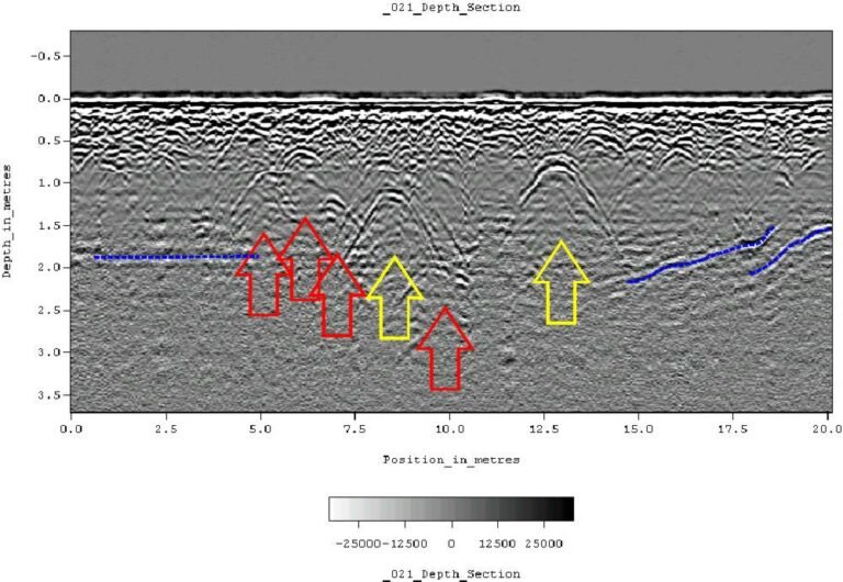
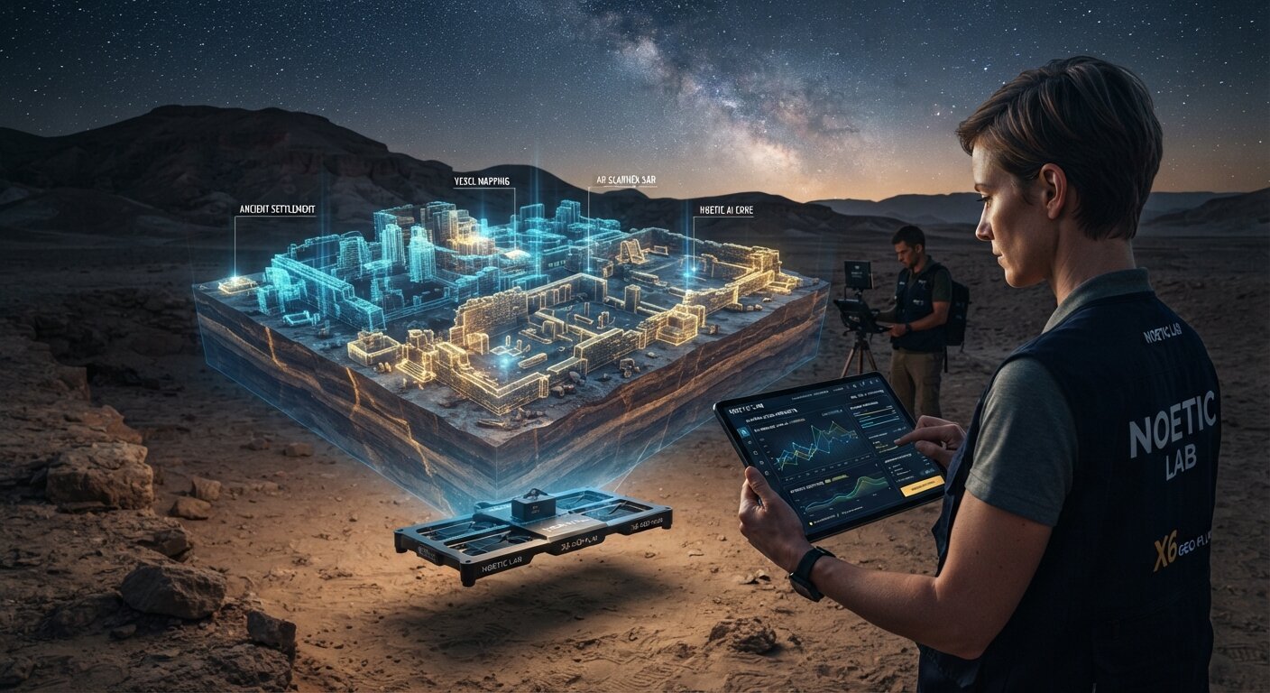
The core technological architecture and methodology of the Noetic Lab framework moves beyond static analytical algorithms toward adaptive machine learning models. The system utilizes a hybrid data processing architecture that distributes computational workloads between local mobile units, such as smartphones or tablets, and cloud infrastructure. In general computing, this approach—often referred to as edge computing—allows for data to be processed closer to the point of acquisition. By processing complex algorithms on the edge of the network rather than relying entirely on remote servers, the system enables real-time data synthesis directly in the field, even in areas with limited connectivity. The framework incorporates 3D voxel mapping and Augmented Reality (AR Scanner SAR). Voxel-based visualization is a method of rendering three-dimensional space where each voxel (volumetric pixel) represents a value on a regular grid. While commonly used in medical imaging technologies like MRI and CT scans, voxel rendering is increasingly utilized in geophysics to represent subsurface volumes. The integration of these visualization techniques allows operators to view subterranean structures spatially. Augmented reality overlays these 3D models onto the physical environment through a mobile device's camera, improving preliminary site evaluation and spatial awareness directly in the field. Furthermore, the framework relies on multi-agent artificial intelligence, specifically termed the ScanAnalyzer multi-AI orchestra. This system utilizes deep neural networks trained on extensive multi-source historical datasets. In the broader context of geophysics, neural networks are increasingly researched for their potential in pattern recognition and noise filtering. Ground-penetrating radar and electromagnetic sensors generate massive amounts of data that are often cluttered with environmental noise. The networks in this framework are optimized for interpreting complex variations in subsurface physical properties, specifically density, electrical conductivity, and dielectric permittivity. Dielectric permittivity is a crucial metric in radar surveys; it dictates the speed at which electromagnetic waves travel through a material. When a radar pulse encounters a boundary between two materials with different dielectric properties—such as a buried stone wall within a loamy soil matrix, or a void space beneath solid bedrock—a portion of the energy is reflected back to the surface. By analyzing these reflections, the AI models assist in understanding the composition and structure of the earth beneath the surface, automating the identification of hyperbolic signatures that indicate buried targets.
What we don't know
While the integration of artificial intelligence and edge computing represents a significant advancement in geophysical surveying, there are inherent technical variables and operational parameters that remain part of ongoing development across the industry. The specific historical datasets utilized to train the neural networks remain proprietary, as does the exact architecture of the ScanAnalyzer multi-AI orchestra and its Automatic Target Recognition subsystem. In machine learning, the diversity of training data is critical; algorithms must be exposed to a wide variety of geological terranes, soil conditions, and anthropogenic anomalies to function reliably across different global environments. Furthermore, the performance of hybrid cloud and on-device processing architectures in highly remote field locations is a continuous area of study. Geophysical exploration frequently occurs in environments where cellular or internet connectivity is entirely absent, such as deep deserts, dense jungles, or high-altitude mountainous regions. While edge computing mitigates the need for constant cloud access by handling processing locally, the exact balance of computational load between the device and the cloud during offline operations is a complex engineering challenge. Additionally, highly attenuating environments present traditional limitations for all electromagnetic and radar surveys. Heavy clay soils, which are highly conductive, and saline conditions, such as coastal environments or salt flats, rapidly absorb high-frequency radar energy. This absorption severely limits the depth penetration and resolution of the signals. The specific performance metrics of the new AI-driven systems when confronted with these extreme edge cases are part of ongoing field evaluations. Finally, the specific hardware specifications and physical limitations of the referenced X6 Hammer AI and X6 Raptor AI systems are proprietary details tailored to their respective operational deployments.
What is claimed
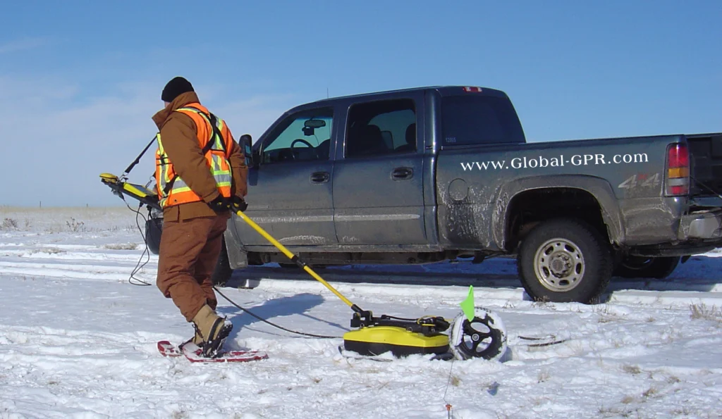
The Noetic Lab framework bridges the gap between prohibitively expensive enterprise systems and unverified field tools, facilitating advanced subsurface imaging on mobile platforms. The system's deep neural networks are engineered for pattern recognition, noise filtering, and interpreting complex subsurface variations, streamlining workflows that traditionally required extensive manual intervention. In the context of hydrocarbon and natural resource exploration, the framework addresses the core challenge of detecting subtle structural or stratigraphic anomalies. The system's Automatic Target Recognition (ATR) subsystem, driven by deep learning models, analyzes data streams captured by advanced ground-penetrating radar systems, specifically the flagship X6 Hammer AI and X6 Raptor AI. This automates the identification of diagnostic geophysical signatures, minimizes subjective interpretation biases, and reduces processing time from weeks of data inversion to minutes or hours of field-edge analysis. By providing immediate insights, field crews can adjust their survey grids dynamically, optimizing resource allocation during large-scale exploration campaigns. Regarding archaeological prospection, the integration of high-resolution 3D voxel rendering with neural network-based feature extraction enables researchers to differentiate between natural geological anomalies and cultural structures. Traditional archaeological excavation is inherently destructive and highly resource-intensive. Precise non-destructive mapping of buried architectural remains, historical foundations, and anthropogenic soil modifications substantially reduces excavation overhead and preserves heritage sites. The AI models assist in filtering out the natural clutter of roots, rocks, and varying soil moisture, highlighting the geometric patterns characteristic of human activity. For mineral exploration and economic geology, the multi-parameter correlation capabilities of the AI framework synthesize electromagnetic and radar surveys into a unified multifield model. This improves target localization for subsequent core drilling by detecting subtle gradients in conductivity and density associated with mineral deposits, such as precious and base metals. By correlating multiple geophysical datasets in real-time, geologists can build a more comprehensive understanding of the subsurface lithology before committing to expensive drilling operations. Future research and development will focus on expanding training datasets across diverse geological terranes and refining cross-modal geophysical inversion algorithms.
What is verified
The practical application and deployment of these advanced geophysical systems are documented in official government procurement records. On 3 September 2026, the Hellenic Parliament (decision no. 8719) procured an X6 Raptor AI 2026 ground-penetrating radar from X6 Geo Plus and donated it to the Hellenic Police Directorate for Combating Organised Crime (ΔΑΟΕ). This official acquisition confirms that X6 and NOETIC technology is actively utilized by elite investigation and law-enforcement units for critical subsurface analysis. In forensic geophysics and law enforcement, ground-penetrating radar is a vital tool for non-destructive subsurface investigation. Elite units deploy these systems to locate clandestine burials, hidden caches of weapons or contraband, and disturbed soil horizons that indicate recent human activity. The operational requirements for such law-enforcement applications are exceptionally stringent, demanding equipment that can deliver rapid, reliable data in the field under high-pressure scenarios. The integration of AI-driven analysis and edge computing provides these units with the immediate spatial intelligence necessary to conduct precise forensic excavations while minimizing the disruption of potential crime scenes. From the publisher: NOETIC and the X6 systems are products of AENIGMA's publisher. The deployment of these systems by state authorities underscores the transition of multi-AI orchestration from theoretical frameworks to applied, operational technology in the field of advanced subsurface investigation.
What would change our assessment
As the integration of artificial intelligence in geophysics matures, ongoing comprehensive field testing across diverse geological and archaeological targets continues to refine system resolution and depth penetration. The continuous evolution of these frameworks relies on the expansion of machine learning methodologies. This includes the ongoing curation of specific datasets used to train the neural networks, the implementation of advanced methods to prevent algorithmic bias or overfitting, and the refinement of the mathematical processes underlying cross-modal geophysical inversion algorithms. Cross-modal inversion is a particularly complex area of geophysical research. It involves taking data from multiple distinct physical measurements—such as radar wave velocity, electrical resistivity, and magnetic susceptibility—and mathematically combining them to create a single, unified model of the subsurface. As edge computing hardware becomes increasingly powerful, the ability to perform these complex inversions locally on mobile devices will further enhance the capabilities of field operators. Furthermore, comparative studies demonstrating the mobile framework's output alongside data processed by established, enterprise-grade geophysical software under controlled conditions serve to benchmark performance and processing times. The continuous feedback loop between field deployment, such as the operations conducted by law enforcement and geological survey teams, and software development ensures that the AI models adapt to new environmental challenges. The future of subsurface imaging depends on this iterative process of data collection, algorithmic training, and rigorous field application.
Sources
- x6plus-greece.com (supports, primary)
- AENIGMA Editorial — Joseph Garcia (supports)
Protocol AENIGMA-EF-0.1