Evidence: Insufficient data Explanation: Not enough data yet
AI Computational Prototype Developed for Mineral Exploration in the Arabian Shield
Researchers from KAUST and the University of British Columbia have developed an artificial intelligence prototype for geophysical imaging. The project is intended to support mineral exploration in Saudi Arabia. Available data on the prototype's field application remains insufficient.
Why AENIGMA is covering this
The application of artificial intelligence to geophysical imaging is a developing area in computational geoscience. Documenting these prototypes provides insight into how data processing methodologies are being adapted for mineral exploration.
What happened
Researchers at the King Abdullah University of Science and Technology (KAUST), in collaboration with the University of British Columbia, have developed an artificial intelligence computational prototype. This system is designed for geophysical imaging to support mineral exploration efforts in Saudi Arabia.
What we know
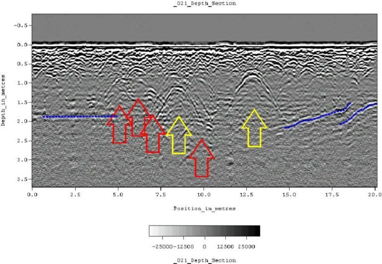
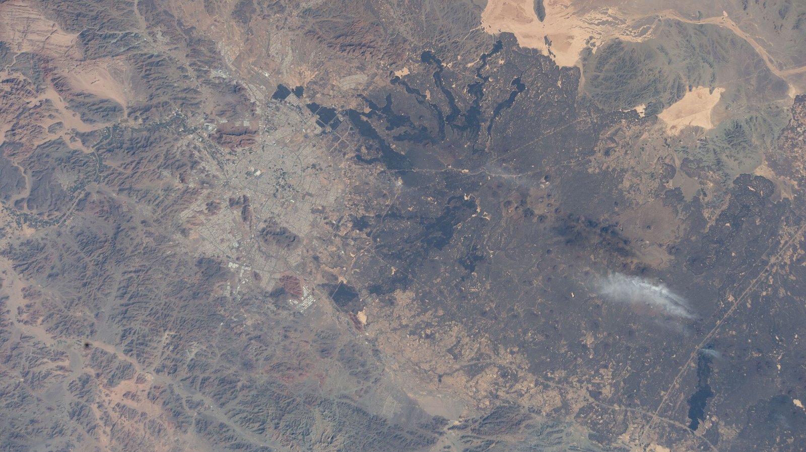
The Arabian Shield is a geological formation with a documented history of mining activity and mineral resources. Standard mineral exploration in such regions typically utilizes geophysical imaging methods, including magnetic, electromagnetic, and seismic surveys, to map subsurface geological structures. The collaboration between KAUST and the University of British Columbia has produced an AI prototype intended to process data derived from these types of surveys.
What we don't know
It is not known exactly which geophysical imaging datasets the AI prototype has been tested on, nor are the specific algorithms used in the computational model publicly detailed in the provided material. The exact locations of any field tests and the specific minerals being targeted are not known.
What is claimed
It is claimed that the AI computational prototype will improve the accuracy of geophysical imaging used in mineral exploration.
What is verified
Media reports from Arab News verify that KAUST and the University of British Columbia have collaborated to develop an AI prototype for geophysical imaging.
Competing explanations
- Possible: KAUST researchers, in collaboration with the University of British Columbia, developed an AI computational prototype for geophysical imaging to improve mineral exploration accuracy.
What would change our assessment
The publication of peer-reviewed technical papers detailing the prototype's architecture, along with standardized field test results comparing the AI's data processing to conventional geophysical imaging methods, would provide sufficient data for a formal assessment.
Sources
- Arab News (supports, primary)
Protocol AENIGMA-EF-0.1